High snowfall and hurricane gusts predicted for central and eastern Switzerland
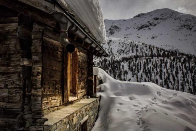
Snow storms are predicted for much of the central and eastern parts of Switzerland from Tuesday night onwards, while authorities have warned of an increased avalanche danger.
A low pressure system across Switzerland will see heavy snowfall across much of the country, while winds of up to 160 kilometres an hour have been predicted.
The snowfall seems largely limited to mountainous areas, with lower lying parts of Switzerland set for rain or dry conditions over the next week.
Bis heute 4 Uhr kamen in den #Bergen bereits 20 bis stellenweise 40cm #Neuschnee zusammen. Tagsüber lassen die #Niederschläge nach, bevor es gegen Abend mit einer #Warmfront wieder #nass wird. Warnungen: https://t.co/hfVLJlv5iY Prognosen: https://t.co/ZAjlNf1mb3 (gz) pic.twitter.com/pLmICyo3pM
— MeteoNews Schweiz (@MeteoNewsAG) February 1, 2022
Up to 40cm of snow has fallen in several higher altitude parts of Switzerland over the past 24 hours.
In total, a further 1.5 metres of snow is predicted across mountainous parts of Switzerland until Thursday.
While this is good news for winter sports enthusiasts, the Swiss Avalanche Research Institute has upped its warning level to 5 due to the continued inclement weather.
READ MORE: Is the pandemic to blame for Switzerland's spate of avalanche deaths?
Public transport connections have also been cancelled due to heavy snow and winds. Trains between Weissbad and Wasserauen have been cut, as have rail connections between Disentis and Andermatt.
The cable car between Unterterzen and Flumserberg-Tannenboden has also been temporarily suspended.
The weather will improve ahead of the weekend, with calmer winds and lower snowfall, although there’s good news for weekend skiers and snowboarders, as temperatures are set to remain low.
Comments
See Also
A low pressure system across Switzerland will see heavy snowfall across much of the country, while winds of up to 160 kilometres an hour have been predicted.
The snowfall seems largely limited to mountainous areas, with lower lying parts of Switzerland set for rain or dry conditions over the next week.
Bis heute 4 Uhr kamen in den #Bergen bereits 20 bis stellenweise 40cm #Neuschnee zusammen. Tagsüber lassen die #Niederschläge nach, bevor es gegen Abend mit einer #Warmfront wieder #nass wird. Warnungen: https://t.co/hfVLJlv5iY Prognosen: https://t.co/ZAjlNf1mb3 (gz) pic.twitter.com/pLmICyo3pM
— MeteoNews Schweiz (@MeteoNewsAG) February 1, 2022
Up to 40cm of snow has fallen in several higher altitude parts of Switzerland over the past 24 hours.
In total, a further 1.5 metres of snow is predicted across mountainous parts of Switzerland until Thursday.
While this is good news for winter sports enthusiasts, the Swiss Avalanche Research Institute has upped its warning level to 5 due to the continued inclement weather.
READ MORE: Is the pandemic to blame for Switzerland's spate of avalanche deaths?
Public transport connections have also been cancelled due to heavy snow and winds. Trains between Weissbad and Wasserauen have been cut, as have rail connections between Disentis and Andermatt.
The cable car between Unterterzen and Flumserberg-Tannenboden has also been temporarily suspended.
The weather will improve ahead of the weekend, with calmer winds and lower snowfall, although there’s good news for weekend skiers and snowboarders, as temperatures are set to remain low.
Join the conversation in our comments section below. Share your own views and experience and if you have a question or suggestion for our journalists then email us at [email protected].
Please keep comments civil, constructive and on topic – and make sure to read our terms of use before getting involved.
Please log in here to leave a comment.